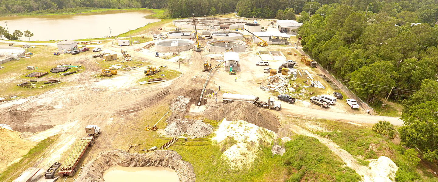
At some point or another—or sometimes, on numerous occasions—all land and site development projects require stormwater design and inspections. As is the case with most areas of engineering and technical design, technology to support stormwater
system inspections is advancing. One of these ways is through the use of drones. Even though drones weren’t necessarily designed to serve the purpose of inspecting stormwater systems, it turns out they’re very useful for just that.

In our Daphne, Alabama, office, we have a few employees who are trained, certified, and licensed drone pilots. Following federal, state, and local regulations, our pilots can provide stormwater inspections more quickly, more thoroughly, and over a larger
surface area than ever before. Drones should be used as an additional method for gathering data and information, not a replacement for manual inspections. It’s important for inspectors to walk the site, see directional water flow, evaluate the
depth of sediment accumulation, and gather an understanding of the area.

Gathering Data for Multiple Uses
Drones can be useful throughout pre-construction, during construction, as well as post-construction. Before a project breaks ground, the drone gives us a picture of current site conditions and allows
us to identify potential problem areas onsite as well as sensitive areas offsite so that we can pass this information along to the contractor. The contractor can then take this information and plan around these sensitive areas.
During construction, the drone allows us to identify—in real-time—current stormwater issues onsite. With a large project, walking every square foot of a job can be unfeasible. Using the drone lets us quickly identify problem areas on site
that need to be further investigated on foot. This allows us to get that information quickly to the contractor who can then resolve the issue in a timelier manner. Another benefit of drone usage during construction is the ability to track the overall
progress of a project via aerial images and videos rather than just piecing smaller pictures into a larger puzzle. We can archive these aerial images for office review, which is beneficial not only for stormwater inspections but for the client, the
contractor, and the engineer.
After construction is complete, the drone can be used to analyze vegetation coverage to determine what areas need attention to achieve final stabilization of a site.
Although drones can be valuable when it comes to stormwater inspections, it is important to remember that it is only one tool of many, including maps, software and technology, and personal investigations.